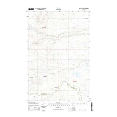
2014 Map of Split Rock Lake
USGS Topo · Published 2014About this map
The Sun River winds through the southern reaches of this landscape, marking a stark geographic transition near the Teton Co Lewis and Clark Co line. Water management is a central theme here, evidenced by the extensive Pishkun Canal and the presence of Pishkun Reservoir, Split Rock Lake, and Tunnel Lake. These features reveal how the natural hydrology of the area has been harnessed for regional needs, with various coulees and ridges providing natural structure to the drainage basins.
Find a feature on this map
24 named features on this map. Tap any name to fly to it.
Don’t see what you’re looking for? This feature index may not catch every label — zoom into the map to look around manually.
Map Details
Editions of this 2014 Split Rock Lake Map
This is the sole edition of this map. No revisions or reprints were ever made.
Other maps of this area

1903 · Saypo
USGS Topo · 1:125,000

1920 · Choteau
USGS Topo · 1:125,000

1955 · Choteau
USGS Topo · 1:250,000

1957 · Choteau
USGS Topo · 1:250,000

1958 · Choteau
USGS Topo · 1:250,000

1958 · Ear Mountain
USGS Topo · 1:24,000

1958 · Lake Theboe
USGS Topo · 1:24,000

1958 · Barr Creek
USGS Topo · 1:24,000

1958 · Sawtooth Ridge
USGS Topo · 1:24,000

1958 · Castle Reef
USGS Topo · 1:24,000