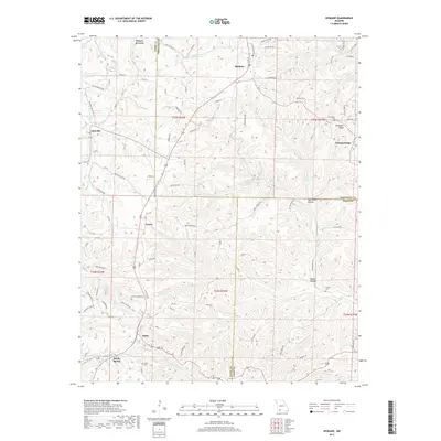
2017 Map of Spokane
USGS Topo · Published 2017About this map
Spokane sits at the junction of several county lines in the Missouri Ozarks, marking a transition between the plateaus of Stone and Christian counties. This 2017 survey details a landscape where historic rural settlements like Ponce de Leon and Abesville endure alongside modern recreational trails. The southern reaches of the map show the community of Reeds Spring and the small hamlet of Stutts, centers of local activity since the early 20th century.
Find a feature on this map
86 named features on this map. Tap any name to fly to it.
Don’t see what you’re looking for? This feature index may not catch every label — zoom into the map to look around manually.
Map Details
Editions of this 2017 Spokane Map
This is the sole edition of this map. No revisions or reprints were ever made.
Other maps of this area

1907 · Forsyth
USGS Topo · 1:125,000

1945 · Harrison
USGS Topo · 1:250,000

1949 · Harrison
USGS Topo · 1:250,000

1950 · Garber
USGS Topo · 1:24,000

1954 · Harrison
USGS Topo · 1:250,000
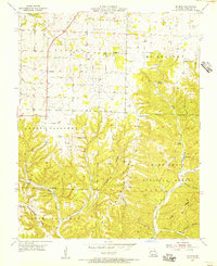
1955 · Selmore
USGS Topo · 1:24,000

1955 · Day
USGS Topo · 1:24,000
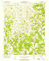
1955 · Hurley
USGS Topo · 1:24,000
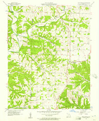
1955 · Highlandville
USGS Topo · 1:24,000

1956 · Garber
USGS Topo · 1:24,000