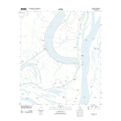
2012 Map of Spokane
USGS Topo · Published 2012About this map
Lake Saint John and the massive curves of the Mississippi River dominate this 2012 survey of the Louisiana-Mississippi borderlands. The landscape is defined by the shifting hydrology of oxbows and bayous, where landforms like Fairchilds Bend and Bowie Point sit alongside active industrial sites such as the Clayton Oil Field and Milestone Forks Oil Field. Small settlements and landings like Gibson Landing and Spokane are connected by a network of rural roads including Vidal Island Plantation Rd and Rifle Point Farm-To-Market Road.
Find a feature on this map
55 named features on this map. Tap any name to fly to it.
Don’t see what you’re looking for? This feature index may not catch every label — zoom into the map to look around manually.
Map Details
Editions of this 2012 Spokane Map
This is the sole edition of this map. No revisions or reprints were ever made.
Other maps of this area

1909 · Sycamore Landing
USGS Topo · 1:24,000

1909 · Vidalia
USGS Topo · 1:24,000

1921 · Natchez
USGS Topo · 1:48,000

1922 · Natchez
USGS Topo · 1:62,500

1939 · Red Gum
USGS Topo · 1:62,500

1939 · Natchez
USGS Topo · 1:62,500

1939 · Locust Ridge
USGS Topo · 1:62,500

1941 · Sicily Island
USGS Topo · 1:62,500

1953 · Natchez
USGS Topo · 1:250,000

1956 · Natchez
USGS Topo · 1:250,000