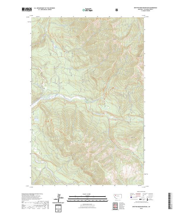
2024 Map of Spotted Bear Mountain
USGS Topo · Published 2024About this map
The Flathead National Forest serves as the backdrop for this high-elevation mountain terrain where the Great Bear Wilderness and Bob Marshall Wilderness meet. The confluence of several vital waterways dominates the central landscape, specifically where the Spotted Bear River meets the South Fork Flathead River, the latter of which is designated here as the Flathead Wild and Scenic River. This area is defined by its lack of modern road infrastructure, relying instead on an extensive system of established pack trails like the Spotted Bear River Trl and Main South Fork Trl for access.
Find a feature on this map
44 named features on this map. Tap any name to fly to it.
Don’t see what you’re looking for? This feature index may not catch every label — zoom into the map to look around manually.
Map Details
Editions of this 2024 Spotted Bear Mountain Map
This is the sole edition of this map. No revisions or reprints were ever made.
Other maps of this area

1913 · Marias Pass
USGS Topo · 1:125,000

1914 · Nyack
USGS Topo · 1:125,000

1936 · Silvertip
USGS Topo · 1:96,000

1942 · Silvertip
USGS Topo · 1:125,000

1955 · Choteau
USGS Topo · 1:250,000

1957 · Choteau
USGS Topo · 1:250,000

1958 · Choteau
USGS Topo · 1:250,000

1958 · Capitol Mountain
USGS Topo · 1:24,000

1958 · Circus Peak
USGS Topo · 1:24,000

1958 · Horseshoe Peak
USGS Topo · 1:24,000