
1954 Map of Sprague Island
USGS Topo · Published 1956About this map
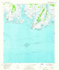
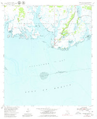
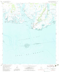
St Marks National Wildlife Refuge dominates this coastal survey, where the St Marks River meets the salt marshes of Apalachee Bay. The landscape is a complex labyrinth of tidal creeks and brackish pools, including Stony Bayou Pool and Mounds Pool, critical for migratory waterfowl. Human presence is centered on maritime safety and refuge management, anchored by the Lighthouse and the Coast Guard Station Lighthouse at the shoreline.
Find a feature on this map
55 named features on this map. Tap any name to fly to it.
Don’t see what you’re looking for? This feature index may not catch every label — zoom into the map to look around manually.
Map Details
Editions of this 1954 Sprague Island Map
4 editions found
Other maps of this area

1940 · Arran
USGS Topo · 1:62,500

1943 · Arran
USGS Topo · 1:62,500

1943 · Lighthouse Point
USGS Topo · 1:24,000

1945 · Lighthouse Point
USGS Topo · 1:31,680

1949 · Apalachicola
USGS Topo · 1:250,000

1954 · St. Marks NE
USGS Topo · 1:24,000

1954 · St. Marks
USGS Topo · 1:24,000

1954 · Cobb Rocks
USGS Topo · 1:24,000

1954 · Tallahassee
USGS Topo · 1:250,000

1957 · Apalachicola
USGS Topo · 1:250,000