Loading...
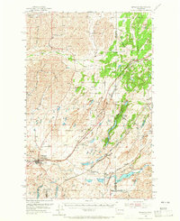
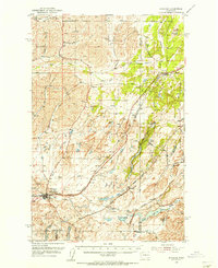
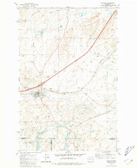
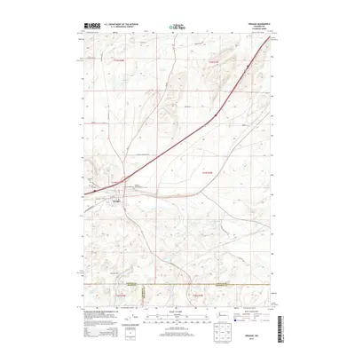
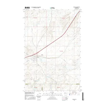
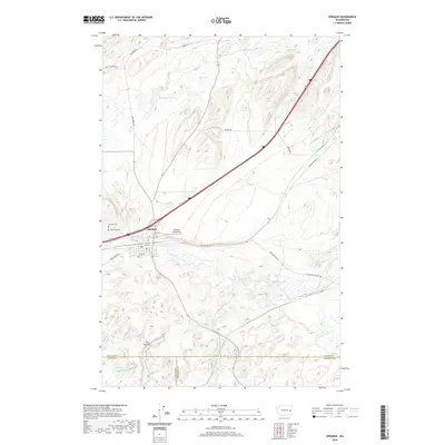
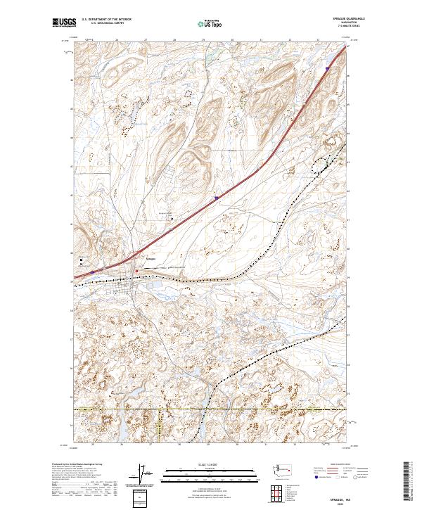
Loading map...1954 Map of Sprague
USGS Topo · Published 1965About this map
The town of Sprague serves as the primary hub in this mid-century portrait of the Channeled Scablands, where the basalt-carved landscape is defined by a dense network of competing rail lines. No fewer than five major railroads traverse the territory, including the Northern Pacific, the Chicago Milwaukee St Paul and Pacific, and the Spokane Portland and Seattle. These iron corridors connect small outposts like Fishtrap, Tyler, and Rodna, highlighting the industrial significance of the region during an era of robust rail commerce.
Find a feature on this map
50 named features on this map. Tap any name to fly to it.
Don’t see what you’re looking for? This feature index may not catch every label — zoom into the map to look around manually.
Map Details
Date Portrayed1954
Date Published1965
PublisherU.S. Geological Survey
Map TypeTopographic
Scale1:62,500
Physical Dimensions17.1 x 20.9 inches
Editions of this 1954 Sprague Map
2 editions found
Historical Maps of Sprague Through Time
7 maps found
Featured Locations
Source Details
SourceU.S. Geological Survey
CopyrightPublic Domain