
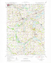
1948 Map of Spring Arbor
USGS Topo · Published 1967About this map
The Kalamazoo River and its multiple branches define this mid-century landscape across Jackson, Calhoun, and Hillsdale counties. In the post-war period, this area remained densely populated with small rural schoolhouses and family-named landmarks, reflecting an older educational structure before district consolidation. Notable examples include the Sheridan Sch, Pardee Sch, and Dresser ville Sch.
Find a feature on this map
67 named features on this map. Tap any name to fly to it.
Don’t see what you’re looking for? This feature index may not catch every label — zoom into the map to look around manually.
Map Details
Editions of this 1948 Spring Arbor Map
2 editions found
Other maps of this area

1919 · Springport
USGS Topo · 1:62,500

1919 · Rives Junction
USGS Topo · 1:62,500

1921 · Rives Junction
USGS Topo · 1:62,500

1921 · Springport
USGS Topo · 1:62,500

1921 · Marshall
USGS Topo · 1:62,500

1923 · Marshall
USGS Topo · 1:62,500

1935 · Jackson
USGS Topo · 1:48,000

1939 · Jackson
USGS Topo · 1:62,500

1943 · Marshall
USGS Topo · 1:62,500

1948 · Homer
USGS Topo · 1:62,500