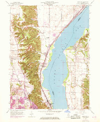
1950 Map of Spring Bay
USGS Topo · Published 1968About this map
The Upper Peoria Lake Illinois River serves as the central artery of this mid-century landscape, dividing the river bluffs of Medina and Richwoods from the eastern bottomlands. On the western shore, industrial and suburban expansion is evident in Peoria Heights and Sankoty, where the Chicago Rock Island and Pacific railroad follows the shoreline through Mossville. The rugged bluffs to the west are carved by numerous named ravines, including Strawberry Hollow and Moon Hollow, providing a sharp contrast to the developed urban fringes of Peoria.
Find a feature on this map
49 named features on this map. Tap any name to fly to it.
Don’t see what you’re looking for? This feature index may not catch every label — zoom into the map to look around manually.
Map Details
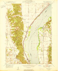
Editions of this 1950 Spring Bay Map
2 editions found
Other maps of this area

1893 · Metamora
USGS Topo · 1:62,500

1893 · Dunlap
USGS Topo · 1:62,500

1898 · Dunlap
USGS Topo · 1:62,500

1905 · Peoria
USGS Topo · 1:62,500

1927 · Peoria
USGS Topo · 1:62,500

1928 · Mackinaw
USGS Topo · 1:62,500

1932 · Mackinaw
USGS Topo · 1:62,500

1932 · Dunlap
USGS Topo · 1:62,500

1933 · Dunlap
USGS Topo · 1:62,500

1937 · Metamora
USGS Topo · 1:62,500