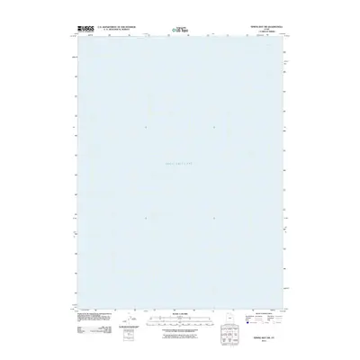
2011 Map of Spring Bay SW
USGS Topo · Published 2011About this map
Great Salt Lake dominates this 2011 survey, showing the waters of the northwestern arm in Box Elder County. The map focuses specifically on the aquatic landscape of Spring Bay, a northern extension of the lake. This edition provides a clear record of the shoreline and water levels during the early 21st century, a period of significant environmental observation for the region. Because the map represents an area almost entirely composed of open water and lakebed, it lacks the roads, settlements, and man-made structures found in more developed quadrangles, offering instead a precise look at the hydrology of this specific Utah basin as documented by the U.S. Geological Survey.
Find a feature on this map
2 named features on this map. Tap any name to fly to it.
Don’t see what you’re looking for? This feature index may not catch every label — zoom into the map to look around manually.
Map Details
Editions of this 2011 Spring Bay SW Map
This is the sole edition of this map. No revisions or reprints were ever made.
Other maps of this area

1954 · Brigham City
USGS Topo · 1:250,000

1958 · Brigham City
USGS Topo · 1:250,000

1962 · Brigham City
USGS Topo · 1:250,000

1968 · Monument Point
USGS Topo · 1:24,000

1968 · Coyote Point
USGS Topo · 1:24,000

1969 · Spring Bay SW
USGS Topo · 1:24,000

1969 · Dolphin Island West
USGS Topo · 1:24,000
1969 · Gunnison Island NE
USGS Topo · 1:24,000

1969 · Locomotive Springs
USGS Topo · 1:24,000
1969 · Dolphin Island East
USGS Topo · 1:24,000