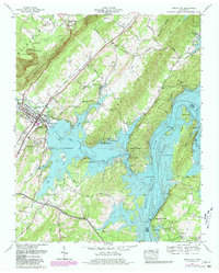
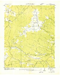
1966 Map of Spring City
USGS Topo · Published 1968About this map
The Cumberland Escarpment dominates the western landscape of this Rhea County region, where the steep terrain gives way to the cascading waters of Upper Piney Falls and Lower Piney Falls. At the foot of these slopes, Spring City serves as a central hub, situated along the Cincinnati New Orleans and Texas Pacific RR. The expansion of Watts Bar Lake and the Tennessee River has dramatically altered the eastern geography, creating a complex system of inlets and islands such as Duck Island and Cemetery Island.
Find a feature on this map
70 named features on this map. Tap any name to fly to it.
Don’t see what you’re looking for? This feature index may not catch every label — zoom into the map to look around manually.
Map Details
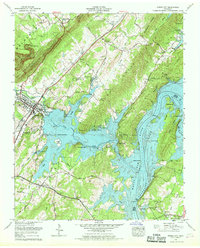
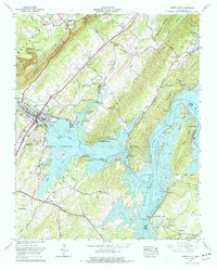
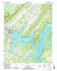
Editions of this 1966 Spring City Map
4 editions found
Other maps of this area

1887 · Kingston
USGS Topo · 1:125,000

1891 · Kingston
USGS Topo · 1:125,000

1893 · Kingston
USGS Topo · 1:125,000

1935 · Rockwood
USGS Topo · 1:24,000

1935 · Evensville
USGS Topo · 1:24,000

1935 · Decatur
USGS Topo · 1:24,000

1935 · Pennine
USGS Topo · 1:24,000

1936 · Roddy
USGS Topo · 1:24,000

1936 · Spring City
USGS Topo · 1:24,000
1936 · Grassy Cove
USGS Topo · 1:24,000