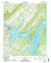
1966 Map of Spring City
USGS Topo · Published 1996About this map
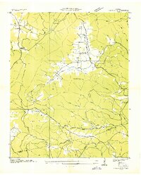
Watts Bar Lake dominates the landscape south of the Cumberland Escarpment, where the Tennessee River winds through Rhea and Meigs Counties. This mid-1960s landscape, later revised with 1990s data, centers on the hub of Spring City, showing the infrastructure of the Southern railroad and several outlying residential developments like Lakewood Village and Apollo Shores. The terrain transitions from the high elevations of Walden Ridge down to the complex shorelines of Piney River and Muddy Creek.
Find a feature on this map
78 named features on this map. Tap any name to fly to it.
Don’t see what you’re looking for? This feature index may not catch every label — zoom into the map to look around manually.
Map Details
Editions of this 1966 Spring City Map
4 editions found
Other maps of this area

1887 · Kingston
USGS Topo · 1:125,000

1891 · Kingston
USGS Topo · 1:125,000

1893 · Kingston
USGS Topo · 1:125,000

1935 · Rockwood
USGS Topo · 1:24,000

1935 · Evensville
USGS Topo · 1:24,000

1935 · Decatur
USGS Topo · 1:24,000

1935 · Pennine
USGS Topo · 1:24,000

1936 · Roddy
USGS Topo · 1:24,000

1936 · Spring City
USGS Topo · 1:24,000
1936 · Grassy Cove
USGS Topo · 1:24,000