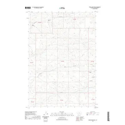
2020 Map of Spring Creek Ranch
USGS Topo · Published 2020About this map
Spring Creek Ranch serves as a central landmark in this Big Horn County landscape, where the terrain is deeply marked by a network of drainage features like Moonshine Draw and Fritzler Coulee. This 2020 map documents a remote part of Montana defined by seasonal water management and ranching infrastructure. Ranch roads such as Grey Blanket Rd and Indian Creek Rd navigate the complex topography of the Schoolhouse Coulee and Long Coulee regions. The presence of water sources like Commissary Springs and the creation of the Upper Indian Cr Reservoir and Lower Indian Cr Reservoir illustrate the vital role of hydrological engineering in supporting habitation and livestock in this environment. These features, along with names like Smith Coulee, provide clear markers of local land use and geographic identity in a sparsely settled area.
Find a feature on this map
27 named features on this map. Tap any name to fly to it.
Don’t see what you’re looking for? This feature index may not catch every label — zoom into the map to look around manually.
Map Details
Editions of this 2020 Spring Creek Ranch Map
This is the sole edition of this map. No revisions or reprints were ever made.
Other maps of this area

1894 · Rosebud
USGS Topo · 1:125,000

1901 · Rosebud
USGS Topo · 1:125,000

1954 · Hardin
USGS Topo · 1:250,000

1957 · Hardin
USGS Topo · 1:250,000

1958 · Hardin
USGS Topo · 1:250,000

1958 · Birdseye Spring
USGS Topo · 1:24,000

1967 · Kid Creek
USGS Topo · 1:24,000

1967 · Wolf Mountain Lookout
USGS Topo · 1:24,000

1967 · Kirby
USGS Topo · 1:24,000

1967 · Bar V Ranch NE
USGS Topo · 1:24,000