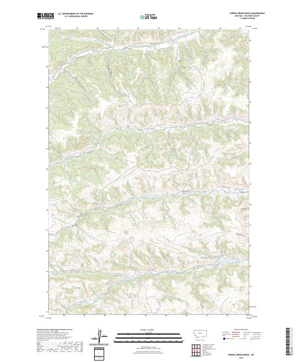
2024 Map of Spring Creek Ranch
USGS Topo · Published 2024About this map
Deep within the Big Horn region of Montana, this landscape is defined by the headwaters and drainage patterns of Little Corral Creek. The topography reflects the complex watercourses that shape the northern plains, where seasonal flows create a distinct network of coulees and draws across the high prairie. The map provides a clear look at the essential water resources and drainage features that have long influenced ranching and land use in this part of the state, serving as a vital record of the natural terrain and the fundamental elements that sustain the local agricultural economy.
Find a feature on this map
1 named feature on this map. Tap any name to fly to it.
Don’t see what you’re looking for? This feature index may not catch every label — zoom into the map to look around manually.
Map Details
Editions of this 2024 Spring Creek Ranch Map
This is the sole edition of this map. No revisions or reprints were ever made.
Other maps of this area

1894 · Rosebud
USGS Topo · 1:125,000

1901 · Rosebud
USGS Topo · 1:125,000

1954 · Hardin
USGS Topo · 1:250,000

1957 · Hardin
USGS Topo · 1:250,000

1958 · Hardin
USGS Topo · 1:250,000

1958 · Birdseye Spring
USGS Topo · 1:24,000

1967 · Kid Creek
USGS Topo · 1:24,000

1967 · Wolf Mountain Lookout
USGS Topo · 1:24,000

1967 · Kirby
USGS Topo · 1:24,000

1967 · Bar V Ranch NE
USGS Topo · 1:24,000