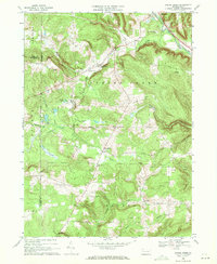
1968 Map of Spring Creek
USGS Topo · Published 1971About this map
Brokenstraw Creek and the Penn Central rail line define the northern edge of this landscape, where the settlements of Spring Creek and West Spring Creek serve as local hubs. The terrain is characterized by the branching drainages of East Branch Spring Creek and Caldwell Creek, with numerous Oil Wells peppered across the southern sections of Eldred township near Sanford. This 1968 field-checked record shows a rural society supported by civic and religious anchors like the Spring Creek Sch, Grange Hall, and several family or community burial grounds including Spring Creek Cem, East Branch Cem, and Trimm Cem. The presence of a Landing Strip and a Gravel Pit near the Erie and Crawford County line suggests the small-scale industrial and transport activity typical of northwestern Pennsylvania during this era.
Find a feature on this map
38 named features on this map. Tap any name to fly to it.
Don’t see what you’re looking for? This feature index may not catch every label — zoom into the map to look around manually.
Map Details
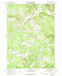
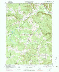
Editions of this 1968 Spring Creek Map
3 editions found
Other maps of this area

1926 · Youngsville
USGS Topo · 1:62,500

1927 · Tidioute
USGS Topo · 1:48,000

1927 · Titusville
USGS Topo · 1:62,500

1929 · Corry
USGS Topo · 1:48,000

1929 · Youngsville
USGS Topo · 1:62,500

1930 · Tidioute
USGS Topo · 1:62,500

1932 · Corry
USGS Topo · 1:62,500

1933 · Titusville
USGS Topo · 1:62,500

1943 · Youngsville
USGS Topo · 1:62,500

1957 · Warren
USGS Topo · 1:250,000