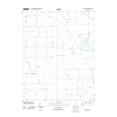
2012 Map of Spring Garden
USGS Topo · Published 2012About this map
Spring Garden serves as the central hub of this rural Illinois landscape, characterized by a dense network of country roads and family cemeteries that speak to generations of local settlement. The terrain is defined by its watercourses, including Gun Cr and Atchison Cr, which snake through the farmland. Genealogists will find a wealth of data points across the township, from the Warren Cem in the north to the Hope Cem and Wilbanks Cem in the south. The industrial presence of the King Oil Field in the northwest corner highlights the region's mineral interests. Numerous small tributaries like Poplar Br and Taylor Br drain into the larger creek systems, while landmarks like Round Knob Cem provide specific historical anchor points for researchers tracing family ties to the Jefferson County soil.
Find a feature on this map
81 named features on this map. Tap any name to fly to it.
Don’t see what you’re looking for? This feature index may not catch every label — zoom into the map to look around manually.
Map Details
Editions of this 2012 Spring Garden Map
This is the sole edition of this map. No revisions or reprints were ever made.
Other maps of this area

1933 · Mount Vernon
USGS Topo · 1:48,000

1939 · Ina
USGS Topo · 1:62,500

1940 · Mount Vernon
USGS Topo · 1:62,500

1942 · McLeansboro
USGS Topo · 1:62,500

1943 · Ina
USGS Topo · 1:62,500

1945 · McLeansboro
USGS Topo · 1:62,500

1947 · Wayne City
USGS Topo · 1:62,500

1958 · Belleville
USGS Topo · 1:250,000

1962 · Belleville
USGS Topo · 1:250,000

1964 · Opdyke
USGS Topo · 1:24,000