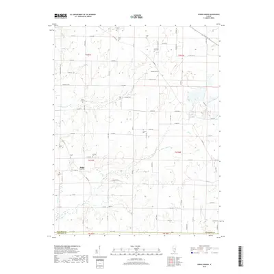
2018 Map of Spring Garden
USGS Topo · Published 2018About this map
Spring Garden is the central hub of this Jefferson County landscape, situated at the junction of Co Hwy 5 and several rural routes. The area is defined by a series of small watercourses, including Atchison Cr and Gun Cr, which meander through a patchwork of agricultural plots and wooded sections. The map reveals a high density of small family and community burial grounds, such as Richardson Farm Cem, Hams Grove Cem, and Fitzgerrell Cem, which are scattered throughout the countryside, often near historic section lines. These small cemeteries, alongside landmarks like Round Knob Cem and McKinney Cem, provide a detailed genealogical record of the families who settled this part of Southern Illinois. The road network, comprising named lanes like N Goshen Ln and N Star Rd, connects these remote sites across the township lines of t4s r3e and t4s r4e.
Find a feature on this map
81 named features on this map. Tap any name to fly to it.
Don’t see what you’re looking for? This feature index may not catch every label — zoom into the map to look around manually.
Map Details
Editions of this 2018 Spring Garden Map
This is the sole edition of this map. No revisions or reprints were ever made.
Other maps of this area

1933 · Mount Vernon
USGS Topo · 1:48,000

1939 · Ina
USGS Topo · 1:62,500

1940 · Mount Vernon
USGS Topo · 1:62,500

1942 · McLeansboro
USGS Topo · 1:62,500

1943 · Ina
USGS Topo · 1:62,500

1945 · McLeansboro
USGS Topo · 1:62,500

1947 · Wayne City
USGS Topo · 1:62,500

1958 · Belleville
USGS Topo · 1:250,000

1962 · Belleville
USGS Topo · 1:250,000

1964 · Opdyke
USGS Topo · 1:24,000