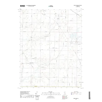
2021 Map of Spring Garden
USGS Topo · Published 2021About this map
Spring Garden is the primary focus of this detailed terrain study, situated just north of the Jefferson Co and Franklin Co line. The landscape is characterized by a high density of rural burial grounds, such as Fitzgerrell Cem, Carroll Cem, and Knowles Cem, which provide significant value for genealogical research in this portion of Southern Illinois. The township is drained by several waterways, including Gun Cr and Atchison Cr, which define the drainage patterns of the local farmland.
Find a feature on this map
77 named features on this map. Tap any name to fly to it.
Don’t see what you’re looking for? This feature index may not catch every label — zoom into the map to look around manually.
Map Details
Editions of this 2021 Spring Garden Map
This is the sole edition of this map. No revisions or reprints were ever made.
Other maps of this area

1933 · Mount Vernon
USGS Topo · 1:48,000

1939 · Ina
USGS Topo · 1:62,500

1940 · Mount Vernon
USGS Topo · 1:62,500

1942 · McLeansboro
USGS Topo · 1:62,500

1943 · Ina
USGS Topo · 1:62,500

1945 · McLeansboro
USGS Topo · 1:62,500

1947 · Wayne City
USGS Topo · 1:62,500

1958 · Belleville
USGS Topo · 1:250,000

1962 · Belleville
USGS Topo · 1:250,000

1964 · Opdyke
USGS Topo · 1:24,000