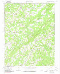
1964 Map of Spring Garden
USGS Topo · Published 1980About this map
White Oak Mountain dominates the central topography of this mid-century survey, a prominent ridge that defines the rural character of Pittsylvania County. The landscape is a network of small agricultural settlements and crossroads communities like Spring Garden and Shockoe, where life centered around the local waterways and country churches. The Banister River and Cherrystone Creek wind through the valleys, supporting a legacy of milling indicated by the presence of Motleys Mill.
Find a feature on this map
35 named features on this map. Tap any name to fly to it.
Don’t see what you’re looking for? This feature index may not catch every label — zoom into the map to look around manually.
Map Details
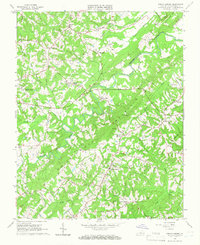
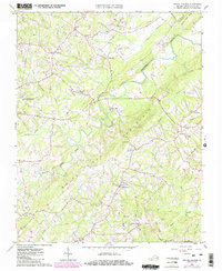
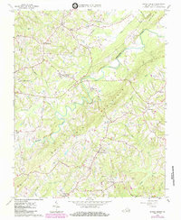
Editions of this 1964 Spring Garden Map
4 editions found
Other maps of this area

1921 · Chatham
USGS Topo · 1:48,000

1923 · Danville
USGS Topo · 1:48,000

1923 · Chatham
USGS Topo · 1:62,500

1925 · Danville
USGS Topo · 1:62,500

1952 · Milton
USGS Topo · 1:62,500

1953 · Greensboro
USGS Topo · 1:250,000

1954 · Greensboro
USGS Topo · 1:250,000

1954 · Riceville
USGS Topo · 1:62,500

1956 · Milton
USGS Topo · 1:62,500

1962 · Greensboro
USGS Topo · 1:250,000