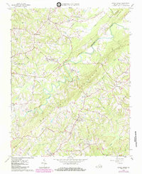
1964 Map of Spring Garden
USGS Topo · Published 1985About this map
White Oak Mountain dominates the eastern half of this landscape, creating a prominent ridge that directs the flow of Banister River and several tributary creeks through central Pittsylvania County. This mid-century survey reveals a rural society structured around crossroad settlements and agricultural institutions. The presence of the Virginia Polytechnic Institute Tobacco Research Station highlights the regional importance of tobacco cultivation, while clusters like Spring Garden and Shockoe serve as local hubs. Along the river, Motleys Mill remains a noted landmark of the water-powered economy. Smaller communities such as Sheva, Sweden, and Transco Village are connected by a network of rural roads, dotted with community centers including Fairview Chapel and the Shockoe Sch. Natural features like Little Cherrystone Creek and Sandy Creek define the drainage basins between the many family-named cemeteries and rural churches.
Find a feature on this map
33 named features on this map. Tap any name to fly to it.
Don’t see what you’re looking for? This feature index may not catch every label — zoom into the map to look around manually.
Map Details
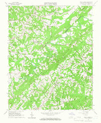
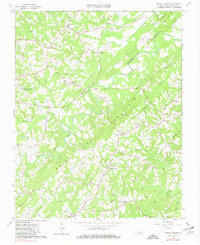
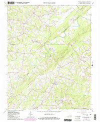
Editions of this 1964 Spring Garden Map
4 editions found
Other maps of this area

1921 · Chatham
USGS Topo · 1:48,000

1923 · Danville
USGS Topo · 1:48,000

1923 · Chatham
USGS Topo · 1:62,500

1925 · Danville
USGS Topo · 1:62,500

1952 · Milton
USGS Topo · 1:62,500

1953 · Greensboro
USGS Topo · 1:250,000

1954 · Greensboro
USGS Topo · 1:250,000

1954 · Riceville
USGS Topo · 1:62,500

1956 · Milton
USGS Topo · 1:62,500

1962 · Greensboro
USGS Topo · 1:250,000