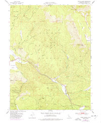
1950 Map of Spring Garden
USGS Topo · Published 1977About this map
The Western Pacific railroad carves a winding path through the high Sierras on this 1950s-era survey, featuring the engineering feat of the Williams Loop near Spring Garden. This circular track allows the railway to gain elevation while managing the steep grades of the Plumas National Forest. The map documents a landscape of industrial transition, showing both the Johnson Mine (Inactive) and a Sawmill located along Greenhorn Creek. Settlements like Massack and Bradys Camp sit tucked into narrow valleys between prominent peaks like Grizzly Mtn and Argentine Rock. The map also delineates the boundaries of the Feather River Experimental Forest (PNF) and a State Game Refuge, illustrating the mid-century management of California's timber and wildlife resources in the Sierra Nevada range.
Find a feature on this map
41 named features on this map. Tap any name to fly to it.
Don’t see what you’re looking for? This feature index may not catch every label — zoom into the map to look around manually.
Map Details
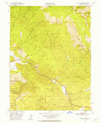
Editions of this 1950 Spring Garden Map
2 editions found
Other maps of this area

1886 · Honey Lake
USGS Topo · 1:250,000

1891 · Downieville
USGS Topo · 1:125,000

1891 · Honey Lake
USGS Topo · 1:250,000

1893 · Honey Lake
USGS Topo · 1:250,000

1893 · Downieville
USGS Topo · 1:125,000

1895 · Downieville
USGS Topo · 1:125,000

1896 · Downieville
USGS Topo · 1:125,000

1897 · Downieville
USGS Topo · 1:125,000

1937 · Blairsden
USGS Topo · 1:48,000

1943 · Blairsden
USGS Topo · 1:62,500