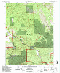
1994 Map of Spring Garden
USGS Topo · Published 1998About this map
The Middle Fork Feather Wild and Scenic River defines the southern reach of this Plumas County landscape, where the Sierra Nevada mountains meet complex rail engineering. The central feature is the Williams Loop, a remarkable section of track where the railroad crosses over itself to gain elevation through the steep canyon terrain. This engineering marvel is supported by the nearby Spring Garden Tunnel and Quincy Tunnel, which facilitate passage through the high ridges.
Find a feature on this map
37 named features on this map. Tap any name to fly to it.
Don’t see what you’re looking for? This feature index may not catch every label — zoom into the map to look around manually.
Map Details
Editions of this 1994 Spring Garden Map
2 editions found
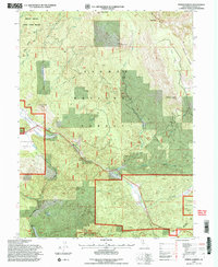
Other maps of this area

1886 · Honey Lake
USGS Topo · 1:250,000

1891 · Downieville
USGS Topo · 1:125,000

1891 · Honey Lake
USGS Topo · 1:250,000

1893 · Honey Lake
USGS Topo · 1:250,000

1893 · Downieville
USGS Topo · 1:125,000

1895 · Downieville
USGS Topo · 1:125,000

1896 · Downieville
USGS Topo · 1:125,000

1897 · Downieville
USGS Topo · 1:125,000

1937 · Blairsden
USGS Topo · 1:48,000

1943 · Blairsden
USGS Topo · 1:62,500