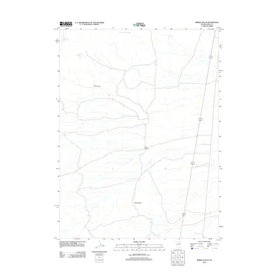
2012 Map of Spring Gulch
USGS Topo · Published 2012About this map
Wildcat Peak anchors this high-desert landscape in northeastern Nevada, where the drainage systems of Spring Gulch and Lion Canyon define the area's geography. The map reveals a reliance on isolated water sources typical of the Great Basin, noting several distinct sites including Spring Gulch Spring, Choke Cherry Spring, and the singularly named Lone Choke Cherry Spring. Transportation is limited to the eastern edge of the quadrangle, where the Alt 93 highway cuts a long, straight path across the terrain. This USGS survey documents the land as it existed in 2012, highlighting the sparse infrastructure and the natural network of washes and canyons that characterize this part of Elko County.
Find a feature on this map
7 named features on this map. Tap any name to fly to it.
Don’t see what you’re looking for? This feature index may not catch every label — zoom into the map to look around manually.
Map Details
Editions of this 2012 Spring Gulch Map
This is the sole edition of this map. No revisions or reprints were ever made.
Other maps of this area

1955 · Elko
USGS Topo · 1:250,000

1958 · Elko
USGS Topo · 1:250,000

1962 · Elko
USGS Topo · 1:250,000

1965 · Elko
USGS Topo · 1:250,000

1972 · Ferguson Flat
USGS Topo · 1:24,000

1972 · Morgan Pass
USGS Topo · 1:24,000

1972 · Lion Spring
USGS Topo · 1:24,000

1972 · Ferguson Mtn.
USGS Topo · 1:24,000

1972 · Ola
USGS Topo · 1:24,000
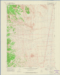
1972 · Spring Gulch
USGS Topo · 1:24,000