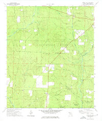
1973 Map of Spring Hill
USGS Topo · Published 1976About this map
Blackwater River State Forest dominates this section of the Florida Panhandle, characterized by a complex network of freshwater branches and creeks in northern Santa Rosa County. The small community of Spring Hill serves as a central landmark, supported by the presence of several local burial grounds including Sullivan Cem and the Old Spring Hill Cem. The terrain is defined by the drainage systems of Big Coldwater Creek and Big Juniper Creek, which carve through the timberlands.
Find a feature on this map
37 named features on this map. Tap any name to fly to it.
Don’t see what you’re looking for? This feature index may not catch every label — zoom into the map to look around manually.
Map Details
Editions of this 1973 Spring Hill Map
2 editions found
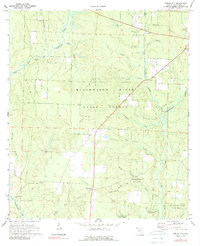
Other maps of this area

1920 · Milton
USGS Topo · 1:62,500

1934 · Harold
USGS Topo · 1:62,500

1937 · Harold
USGS Topo · 1:62,500

1938 · Harold
USGS Topo · 1:62,500

1941 · Milton
USGS Topo · 1:62,500

1943 · Milton
USGS Topo · 1:62,500

1943 · Jay
USGS Topo · 1:62,500

1948 · Munson
USGS Topo · 1:62,500

1950 · Munson
USGS Topo · 1:62,500

1957 · Pensacola
USGS Topo · 1:250,000