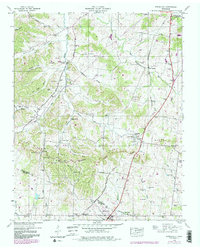
1946 Map of Spring Hill
USGS Topo · Published 1980About this map
Duck River Divide serves as the topographic backbone of this landscape, separating the northward-flowing waters of the West Harpeth River from the creeks that feed south toward the Duck River. The area is defined by its deep genealogical footprint, visible through family-named landmarks like Patton Cem, Jones Cem, and Nicholson Cem, which are scattered throughout the agricultural hollows such as Ridley Hollow and Johnson Hollow. The Louisville and Nashville railroad corridor anchors the eastern half of the map, linking Thompsons Station and Spring Hill. This transit network, including the Andrew Jackson Highway, historically facilitated both local trade and the industrial extraction visible at several strip mine sites. This survey records a transition from mid-century rural life toward late-20th-century reclamation, particularly evident in the purple photo-revisions that indicate where the terrain began to change from its 1946 state.
Find a feature on this map
60 named features on this map. Tap any name to fly to it.
Don’t see what you’re looking for? This feature index may not catch every label — zoom into the map to look around manually.
Map Details
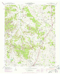
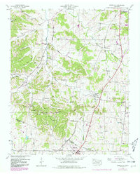
Editions of this 1946 Spring Hill Map
3 editions found
Other maps of this area

1901 · Colombia
USGS Topo · 1:125,000

1909 · Franklin
USGS Topo · 1:62,500

1936 · Godwin
USGS Topo · 1:24,000

1936 · Rally Hill
USGS Topo · 1:24,000

1936 · Spring Hill
USGS Topo · 1:24,000

1936 · Theta
USGS Topo · 1:24,000

1936 · Carters Creek
USGS Topo · 1:24,000

1936 · Bethesda
USGS Topo · 1:24,000

1940 · Godwin
USGS Topo · 1:24,000
1941 · Godwin
USGS Topo · 1:24,000
Featured Places
- Franklin, TN
- Spring Hill, TN
- Thompson's Station, TN
- Sycamore, TN
- Country Haven Estates, Thompson's Station