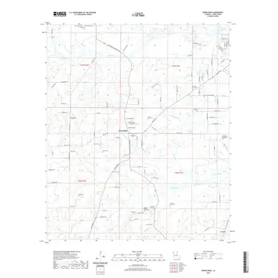
2020 Map of Spring Ridge
USGS Topo · Published 2020About this map
Spring Ridge and Preston anchor this corner of Caddo Parish, where a dense network of country roads connects several long-established rural communities. The landscape is characterized by a significant number of family and church burial grounds, suggesting a deeply rooted local history. Notable sites include the Northwest Louisiana Veterans Cem and the Davis Family Cem, alongside numerous others such as New Hill Cem and Davidson Cem. These sites are often found near local congregations like Mt Olive Church, Friendship Church, and Galilee Church.
Find a feature on this map
103 named features on this map. Tap any name to fly to it.
Don’t see what you’re looking for? This feature index may not catch every label — zoom into the map to look around manually.
Map Details
Editions of this 2020 Spring Ridge Map
This is the sole edition of this map. No revisions or reprints were ever made.
Other maps of this area

1943 · Waskom
USGS Topo · 1:62,500

1945 · Grand Cane
USGS Topo · 1:62,500

1945 · Waskom
USGS Topo · 1:62,500

1945 · Greenwood
USGS Topo · 1:62,500

1945 · Socagee Bayou
USGS Topo · 1:62,500

1955 · Shreveport
USGS Topo · 1:250,000
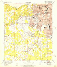
1955 · Shreveport West
USGS Topo · 1:24,000

1955 · Greenwood
USGS Topo · 1:62,500

1956 · Shreveport
USGS Topo · 1:250,000

1956 · Tyler
USGS Topo · 1:250,000