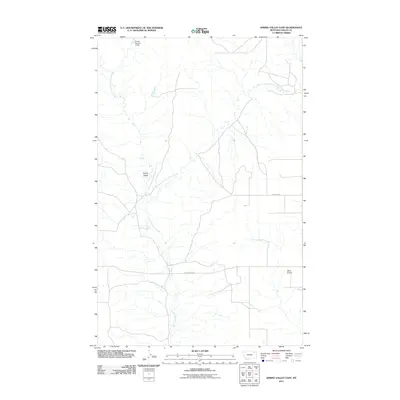
2011 Map of Spring Valley East
USGS Topo · Published 2011About this map
Spring Valley sits amidst the drainage network of the Little Porcupine Creek in this northern Montana survey. The landscape is defined by the convergence of the West Fork and East Fork Little Porcupine Creek, illustrating the hydraulic patterns of Valley County's plains. Human presence is marked by agricultural infrastructure and aviation, notably the Olfert Airport and the Ghost Number 3 Dam in the north. Roadways such as Lustre Grain Rd and Pankratz Rd suggest the region's connection to the grain-growing economy, providing a clear view of rural Montana life in the early 21st century. This map documents the essential landmarks and water management features of a sparse, functional agricultural landscape.
Find a feature on this map
8 named features on this map. Tap any name to fly to it.
Don’t see what you’re looking for? This feature index may not catch every label — zoom into the map to look around manually.
Map Details
Editions of this 2011 Spring Valley East Map
This is the sole edition of this map. No revisions or reprints were ever made.
Other maps of this area

1910 · Todd Lakes
USGS Topo · 1:62,500

1915 · Todd Lakes
USGS Topo · 1:62,500

1915 · Spring Creek
USGS Topo · 1:62,500

1954 · Wolf Point
USGS Topo · 1:250,000

1954 · Glasgow
USGS Topo · 1:250,000

1957 · Glasgow
USGS Topo · 1:250,000

1958 · Wolf Point
USGS Topo · 1:250,000

1958 · Glasgow
USGS Topo · 1:250,000

1973 · Larslan
USGS Topo · 1:24,000

1973 · Haugens Hill
USGS Topo · 1:24,000