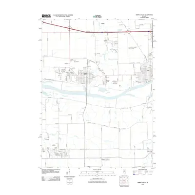
2012 Map of Spring Valley
USGS Topo · Published 2012About this map
Spring Valley and the western edge of Peru occupy the north bank of the Illinois River, a landscape defined by industrial corridors and long-standing religious institutions. The river serves as a primary divider, separating these urban centers from the southern agricultural reaches of Granville and Standard. This area is particularly dense with community heritage sites, including the Saint Bede College and its Abbey Orchard, alongside numerous ethnic and religious burial grounds such as the Lithuanian Cem, Saint George Syrian Cem, and Saints Peter and Paul Cem. The transition from the river valley to the upland plains is marked by a complex network of creeks, including Spring Cr and Allforks Cr, which carve through the grid of county roads. Further out, small settlements like Dalzell and Cedar Point anchor the rural landscape, while Valley Airfield and Camp Saint Claret indicate a mix of utility and recreation in the early twenty-first century.
Find a feature on this map
160 named features on this map. Tap any name to fly to it.
Don’t see what you’re looking for? This feature index may not catch every label — zoom into the map to look around manually.
Map Details
Editions of this 2012 Spring Valley Map
This is the sole edition of this map. No revisions or reprints were ever made.
Other maps of this area

1893 · Lacon
USGS Topo · 1:62,500

1893 · Hennepin
USGS Topo · 1:62,500

1893 · Lasalle
USGS Topo · 1:62,500

1909 · Hennepin
USGS Topo · 1:62,500

1911 · La Salle
USGS Topo · 1:62,500

1911 · Hennepin
USGS Topo · 1:62,500

1913 · La Salle
USGS Topo · 1:62,500

1933 · Lacon
USGS Topo · 1:62,500

1934 · Wenona
USGS Topo · 1:48,000

1937 · Lacon
USGS Topo · 1:62,500