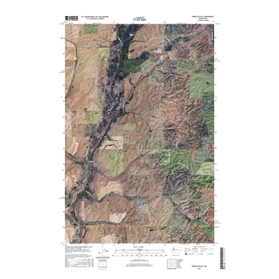
2017 Map of Spring Valley
USGS Topo · Published 2017About this map
Spring Valley and North Pine anchor this rural landscape along the boundary between Spokane and Whitman Counties. The area is defined by a dense network of drainage systems, including N Pine Cr, Pine Cr, and Spring Valley Cr, which cut through the undulating terrain south of Muskrat Lake. The settlement pattern follows these watercourses and the section-line road system, with family names preserved in routes such as S Cahill Rd, S Dunn Rd, and E Bratt Rd. In the southern portion of the quadrangle, the Rosalia Cem serves as a significant genealogical landmark near the intersection of S Old Highway 195 and Rosalia Rd. This detailed survey illustrates the transition from the upland prairies toward the Hangman Cr drainage, showing a landscape deeply tied to its agricultural and hydraulic history.
Find a feature on this map
43 named features on this map. Tap any name to fly to it.
Don’t see what you’re looking for? This feature index may not catch every label — zoom into the map to look around manually.
Map Details
Editions of this 2017 Spring Valley Map
This is the sole edition of this map. No revisions or reprints were ever made.
Other maps of this area
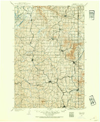
1903 · Oakesdale
USGS Topo · 1:125,000
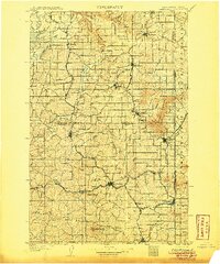
1905 · Oakesdale
USGS Topo · 1:125,000
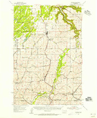
1954 · Spangle
USGS Topo · 1:62,500
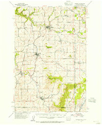
1954 · Fairfield
USGS Topo · 1:62,500
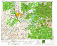
1955 · Spokane
USGS Topo · 1:250,000
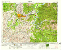
1958 · Spokane
USGS Topo · 1:250,000
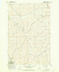
1964 · Oakesdale
USGS Topo · 1:24,000
1964 · Malden
USGS Topo · 1:24,000
1964 · Rosalia
USGS Topo · 1:24,000
1980 · Fairfield
USGS Topo · 1:24,000