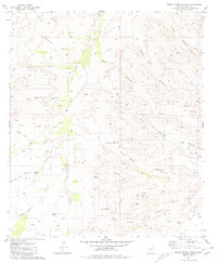
1981 Map of Spring Water Canyon
USGS Topo · Published 1981About this map
Cienega Creek winds through the heart of this landscape, supporting a series of remote ranching operations in the early 1980s. The map documents the cattle-raising infrastructure of Pima County, where life revolved around vital water sources like Diamond A Windmill and Cottonwood Windmill. Family-named landmarks such as Cienega Ranch, Hummel Ranch, and Clyne Ranch mark the sparse human footprint across the desert terrain. The drainage systems of Spring Water Canyon and Gardner Canyon define the topography, punctuated by numerous wells and tanks essential for livestock. A solitary Drill Hole near the eastern edge suggests the mineral exploration common to this region of Arizona. This survey serves as a precise record of rural land use, capturing the location of historic line shacks, windmills, and seasonal seeps before later developments or environmental shifts altered the high-desert watershed.
Find a feature on this map
44 named features on this map. Tap any name to fly to it.
Don’t see what you’re looking for? This feature index may not catch every label — zoom into the map to look around manually.
Map Details
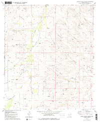
Editions of this 1981 Spring Water Canyon Map
2 editions found
Other maps of this area

1904 · Patagonia
USGS Topo · 1:125,000

1905 · Patagonia
USGS Topo · 1:125,000

1915 · Benson
USGS Topo · 1:125,000

1926 · Whetstone
USGS Topo · 1:62,500

1932 · Elgin
USGS Topo · 1:62,500

1938 · Huachuca
USGS Topo · 1:62,500

1940 · Elgin
USGS Topo · 1:62,500

1943 · Benson
USGS Topo · 1:125,000

1947 · Elgin
USGS Topo · 1:62,500

1948 · Elgin
USGS Topo · 1:24,000