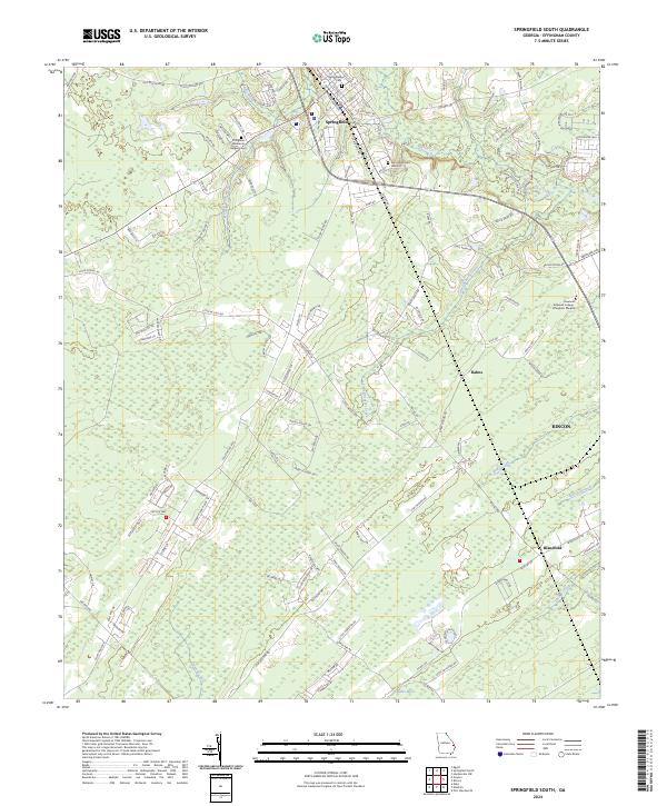
2024 Map of Springfield South
USGS Topo · Published 2024About this map
Springfield serves as the focal point of this modern survey of Effingham County, where the historic settlement pattern meets contemporary expansion. The area is defined by the wetlands and watercourses of the Ogeechee River and the winding Ebenezer Creek, which create a complex hydrological landscape that has long shaped local development. For genealogists and family historians, several key burial sites are documented, including the Springfield Cem and the Springfield Cem Annex, alongside the Effingham Memorial Gardens Cem. The map illustrates the growth of settlements like Rincon, Rahns, and Blandford, which are linked by a network of rural routes and modern connectors. The presence of the Savannah Technical College - Effingham Campus further highlights the area's role as an educational and residential hub north of Savannah.
Find a feature on this map
129 named features on this map. Tap any name to fly to it.
Don’t see what you’re looking for? This feature index may not catch every label — zoom into the map to look around manually.
Map Details
Editions of this 2024 Springfield South Map
This is the sole edition of this map. No revisions or reprints were ever made.
Other maps of this area

1919 · Egypt
USGS Topo · 1:62,500

1920 · Hardeeville
USGS Topo · 1:62,500

1920 · Meldrim
USGS Topo · 1:62,500

1939 · Egypt
USGS Topo · 1:62,500

1942 · Meldrim
USGS Topo · 1:62,500

1942 · Savannah
USGS Topo · 1:62,500

1943 · Hardeeville
USGS Topo · 1:62,500

1943 · Egypt
USGS Topo · 1:62,500

1947 · Savannah
USGS Topo · 1:250,000

1948 · Savannah
USGS Topo · 1:250,000