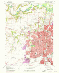
1965 Map of Springfield West
USGS Topo · Published 1973About this map
The State Capitol and the historic downtown of Springfield anchor this mid-1960s survey, showing the Illinois state capital during a period of significant suburban expansion. The map details the urban core, including the Lincoln Home and the Post Office, while highlighting the growth of surrounding residential enclaves like Leland Grove, Jerome, and Southern View. The industrial and transport character of the city is defined by a dense network of rail lines, including the Baltimore and Ohio and the Gulf Mobile and Ohio, which converge near the city center.
Find a feature on this map
59 named features on this map. Tap any name to fly to it.
Don’t see what you’re looking for? This feature index may not catch every label — zoom into the map to look around manually.
Map Details
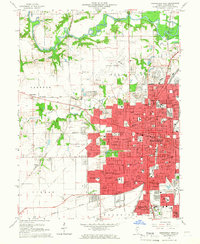
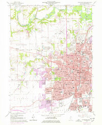
Editions of this 1965 Springfield West Map
3 editions found
Other maps of this area

1907 · Springfield
USGS Topo · 1:62,500

1909 · Tallula
USGS Topo · 1:62,500

1922 · Divernon
USGS Topo · 1:62,500

1924 · Divernon
USGS Topo · 1:62,500

1924 · Waverly
USGS Topo · 1:62,500

1926 · Waverly
USGS Topo · 1:62,500

1930 · Springfield
USGS Topo · 1:62,500

1940 · Tallula
USGS Topo · 1:62,500

1940 · Springfield
USGS Topo · 1:62,500

1950 · Springfield West
USGS Topo · 1:24,000