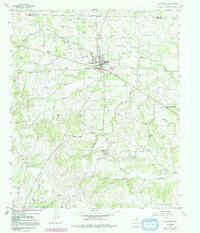
1958 Map of Springtown
USGS Topo · Published 1992About this map
Springtown and its surrounding countryside reflect a mid-century Texas landscape defined by petroleum production and livestock ranching. The Oil Field north of town is dotted with numerous Oil Wells, while the town center features a concentrated grid including the High Sch and several churches. To the south, the settlement at Veal Station is marked by a Historical Monument, preserving its legacy as one of the county's earliest pioneer hubs. The terrain is deeply etched by a network of waterways like Walnut Creek, Browders Creek, and Woody Creek as they flow toward the Clear Fork Trinity River. Smaller rural communities such as Goshen and La Junta appear alongside family-named landmarks like the Bill Clark Cem and the prominent Tater Hill. This 1958 survey, updated with late-1970s revisions, tracks the gradual expansion of the Highland Addition as the area began to transition from a purely agricultural and oil-based economy.
Find a feature on this map
40 named features on this map. Tap any name to fly to it.
Don’t see what you’re looking for? This feature index may not catch every label — zoom into the map to look around manually.
Map Details
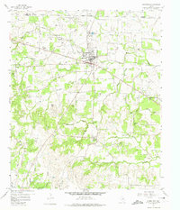
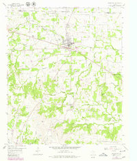
Editions of this 1958 Springtown Map
4 editions found

Other maps of this area

1891 · Weatherford
USGS Topo · 1:125,000

1893 · Weatherford
USGS Topo · 1:125,000

1924 · Sunset 4-d
USGS Topo · 1:48,000

1930 · Boyd
USGS Topo · 1:62,500

1932 · Springtown
USGS Topo · 1:62,500

1954 · Dallas
USGS Topo · 1:250,000

1954 · Sherman
USGS Topo · 1:250,000

1955 · Azle
USGS Topo · 1:24,000
1955 · Springtown SE
USGS Topo · 1:24,000

1958 · Dallas
USGS Topo · 1:250,000