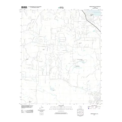
2010 Map of Springtown SE
USGS Topo · Published 2010About this map
Eagle Mountain Lake dominates the northeast corner of this Tarrant County landscape, where the residential development of Castle Hill Estate sits near the Eagle Mountain Dam Rd. The terrain is defined by a dense network of tributaries including Silver Creek, Mill Creek, and Marys Creek, which flow through a region transitioning from traditional ranching toward suburban expansion. Several private landing strips, such as Flying Oaks Airport and Log Cabin Airport, suggest the area's modern utility and connectivity.
Find a feature on this map
68 named features on this map. Tap any name to fly to it.
Don’t see what you’re looking for? This feature index may not catch every label — zoom into the map to look around manually.
Map Details
Editions of this 2010 Springtown SE Map
This is the sole edition of this map. No revisions or reprints were ever made.
Other maps of this area

1891 · Weatherford
USGS Topo · 1:125,000

1893 · Weatherford
USGS Topo · 1:125,000

1894 · Fort Worth
USGS Topo · 1:125,000

1932 · Springtown
USGS Topo · 1:62,500

1954 · Dallas
USGS Topo · 1:250,000

1955 · Avondale
USGS Topo · 1:24,000

1955 · Aledo
USGS Topo · 1:24,000

1955 · Azle
USGS Topo · 1:24,000

1955 · Lake Worth
USGS Topo · 1:24,000

1955 · Benbrook
USGS Topo · 1:24,000