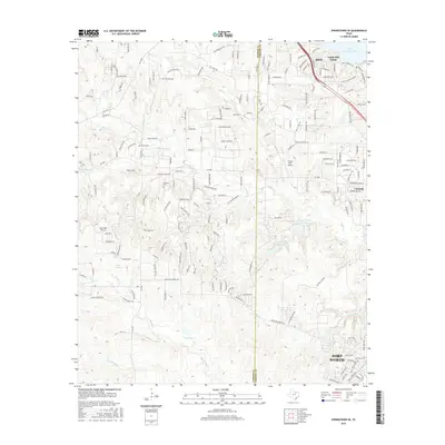
2016 Map of Springtown SE
USGS Topo · Published 2016About this map
The borderlands of Parker and Tarrant Counties show a landscape in transition, where the suburban expansion of Fort Worth meets the drainage basins of the Trinity River system. The shoreline of Eagle Mountain Lake at the northeast corner anchors a series of residential developments including Azle, Castle Hill Estate, and Lakeside. To the south and west, the terrain is defined by the winding paths of Marys Creek and Live Oak Creek, punctuated by private water bodies like Walsh Lake and the twin Haywire Lakes. Genealogical interest is found at the Newsom Cem, tucked among the rural roads and newer subdivisions. Aviation history is also present through local fields such as Log Cabin Airport and Flying Oaks Airport, reflecting the region's low-density aerial infrastructure before further urbanization.
Find a feature on this map
182 named features on this map. Tap any name to fly to it.
Don’t see what you’re looking for? This feature index may not catch every label — zoom into the map to look around manually.
Map Details
Editions of this 2016 Springtown SE Map
This is the sole edition of this map. No revisions or reprints were ever made.
Other maps of this area
1891 · Weatherford
USGS Topo · 1:125,000
1893 · Weatherford
USGS Topo · 1:125,000
1894 · Fort Worth
USGS Topo · 1:125,000
1932 · Springtown
USGS Topo · 1:62,500

1954 · Dallas
USGS Topo · 1:250,000
1955 · Avondale
USGS Topo · 1:24,000
1955 · Aledo
USGS Topo · 1:24,000
1955 · Azle
USGS Topo · 1:24,000
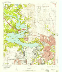
1955 · Lake Worth
USGS Topo · 1:24,000
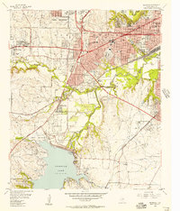
1955 · Benbrook
USGS Topo · 1:24,000