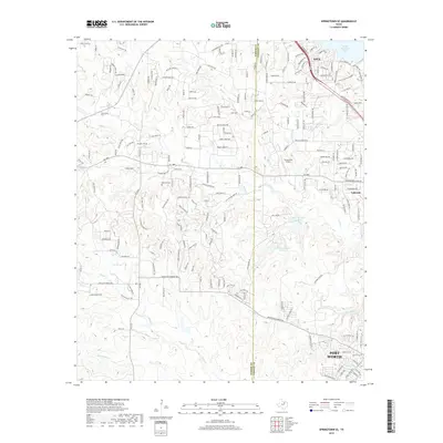
2019 Map of Springtown SE
USGS Topo · Published 2019About this map
The boundary between Parker and Tarrant counties divides a landscape defined by the suburban expansion of Fort Worth and the recreational waters of Eagle Mountain Lake. To the north, the community of Azle sits near the lake's western edge, while Lakeside occupies the eastern boundary of the map. This modern survey illustrates a complex web of residential development, including numerous named roads such as Boling Ranch Rd and Reese Loop that have replaced the earlier rural character of the area.
Find a feature on this map
198 named features on this map. Tap any name to fly to it.
Don’t see what you’re looking for? This feature index may not catch every label — zoom into the map to look around manually.
Map Details
Editions of this 2019 Springtown SE Map
This is the sole edition of this map. No revisions or reprints were ever made.
Other maps of this area

1891 · Weatherford
USGS Topo · 1:125,000

1893 · Weatherford
USGS Topo · 1:125,000

1894 · Fort Worth
USGS Topo · 1:125,000

1932 · Springtown
USGS Topo · 1:62,500

1954 · Dallas
USGS Topo · 1:250,000

1955 · Avondale
USGS Topo · 1:24,000

1955 · Aledo
USGS Topo · 1:24,000

1955 · Azle
USGS Topo · 1:24,000

1955 · Lake Worth
USGS Topo · 1:24,000

1955 · Benbrook
USGS Topo · 1:24,000