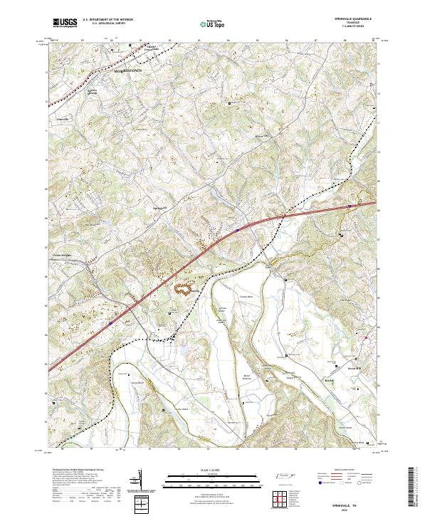
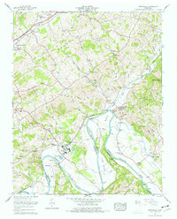
2022 Map of Springvale
USGS Topo · Published 2022About this map
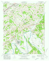
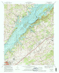
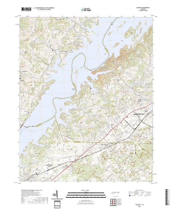
The Nolichucky River dominates the southern landscape of this Hamblen County region, winding past prominent geographical markers like Chucky Bend and Purley Island. The terrain is defined by the significant ridges of Bays Mountain and Little Mtn, while the Norfolk Southern railroad line cuts a straight path through the central valley, connecting settlements such as Springvale and Susong.
Find a feature on this map
168 named features on this map. Tap any name to fly to it.
Don’t see what you’re looking for? This feature index may not catch every label — zoom into the map to look around manually.
Map Details
Editions of this 2022 Springvale Map
This is the sole edition of this map. No revisions or reprints were ever made.
Historical Maps of Susong Through Time
11 maps found
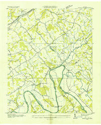
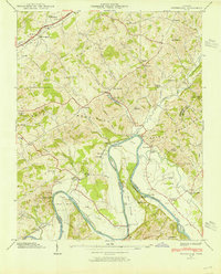
1935 Springvale
Hamblen County, TN
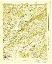
1935 Talbott
Hamblen County, TN
1938 Talbott
Hamblen County, TN
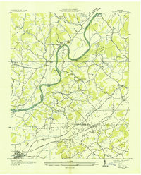
1939 Springvale
Hamblen County, TN
1940 Talbott
Hamblen County, TN
1960 Talbott
Hamblen County, TN
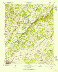
1961 Springvale
Hamblen County, TN
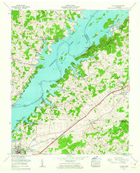
1980 Springvale
Hamblen County, TN
1980 Talbott
Hamblen County, TN
2022 Springvale
Hamblen County, TN
2022 Talbott
Hamblen County, TN