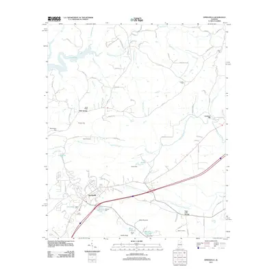
2011 Map of Springville
USGS Topo · Published 2011About this map
Holly Springs and Saint Clair Springs anchor this topography of northeast Alabama, where the ridge-and-valley landscape dictates the flow of water and commerce. The area is defined by a series of prominent gaps, including Hooper Gap, McClendon Gap, and Walker Gap, which serve as natural transit points through the highland terrain of Buck Ridge and Middle Ridge. Water management is a central theme of this 2011 survey, with a network of dams such as Harbert Dam, Elam Dam, Hickman Dam, and Burch Dam creating numerous localized reservoirs like Mountain View Lake. These water bodies are fed by the Blackburn Fork Little Warrior River and the various prongs of Big Canoe Creek. For genealogists and local historians, the presence of the Hooper Cemetery, Fuller Cemetery, and Mardis Cemetery, alongside the site of Goodwins Mill, provides specific geographic touchstones for family research.
Find a feature on this map
99 named features on this map. Tap any name to fly to it.
Don’t see what you’re looking for? This feature index may not catch every label — zoom into the map to look around manually.
Map Details
Editions of this 2011 Springville Map
This is the sole edition of this map. No revisions or reprints were ever made.
Other maps of this area

1889 · Springville
USGS Topo · 1:125,000

1889 · Birmingham
USGS Topo · 1:125,000

1892 · Birmingham
USGS Topo · 1:125,000

1892 · Springville
USGS Topo · 1:125,000

1895 · Birmingham
USGS Topo · 1:125,000

1905 · Leeds
USGS Topo · 1:62,500

1907 · Birmingham
USGS Topo · 1:125,000

1907 · Leeds
USGS Topo · 1:62,500

1953 · Birmingham
USGS Topo · 1:250,000

1956 · Birmingham
USGS Topo · 1:250,000