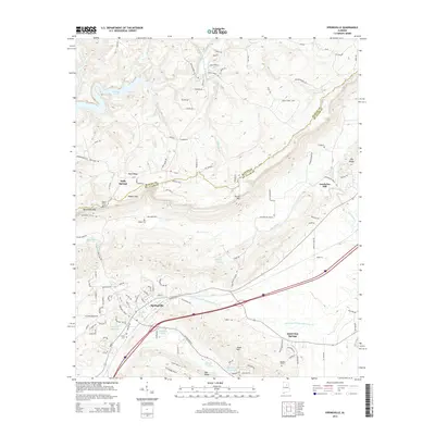
2014 Map of Springville
USGS Topo · Published 2014About this map
Springville serves as the primary hub in this portion of St. Clair County, situated along a corridor defined by the Left Hand Prong Little Canoe Cr and Interstate 59. The landscape is characterized by prominent northeast-trending ridges, including Blount Mtn and Jones Mtn, which separate the agricultural and residential valleys. The map reveals a high concentration of small water bodies and springs, such as Herrings Big Spring and Hickman Lake, reflecting the area's limestone-rich geology. Local history is anchored by several rural settlements and family burial sites like Mardis Cem and Hooper Cem. The presence of Saint Clair Springs and Goodwins Mill points to the early industrial and social foundations of the region, where water resources were central to both community life and local industry. To the northwest, the map captures the edges of Inland Lake and the Blackburn Fork Little Warrior River.
Find a feature on this map
125 named features on this map. Tap any name to fly to it.
Don’t see what you’re looking for? This feature index may not catch every label — zoom into the map to look around manually.
Map Details
Editions of this 2014 Springville Map
This is the sole edition of this map. No revisions or reprints were ever made.
Other maps of this area

1889 · Springville
USGS Topo · 1:125,000

1889 · Birmingham
USGS Topo · 1:125,000

1892 · Birmingham
USGS Topo · 1:125,000

1892 · Springville
USGS Topo · 1:125,000

1895 · Birmingham
USGS Topo · 1:125,000

1905 · Leeds
USGS Topo · 1:62,500

1907 · Birmingham
USGS Topo · 1:125,000

1907 · Leeds
USGS Topo · 1:62,500

1953 · Birmingham
USGS Topo · 1:250,000

1956 · Birmingham
USGS Topo · 1:250,000