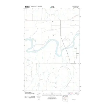
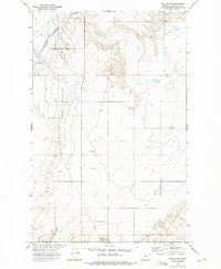
2011 Map of Sprole
USGS Topo · Published 2011About this map
The Missouri River carves a winding path through this portion of Roosevelt County, defining a landscape dominated by riparian features and prairie drainage systems. The small settlement of Sprole sits along the northern rail and road corridor, serving as a focal point for the surrounding rural territory. Notable river landmarks include Skinners Island and White Shield Island, while the surrounding terrain is deeply etched by a network of waterways including Colgan Creek, First Creek, and Second Creek. In the eastern section, Schoolhouse Coulee suggests the locations of former rural school sites, a common pattern in the early development of Montana's high plains. The transition from the river bottom to the elevated coulees is facilitated by local infrastructure like the Poplar Bridge, which provides a vital crossing over the Missouri's unpredictable bends.
Find a feature on this map
19 named features on this map. Tap any name to fly to it.
Don’t see what you’re looking for? This feature index may not catch every label — zoom into the map to look around manually.
Map Details
Editions of this 2011 Sprole Map
This is the sole edition of this map. No revisions or reprints were ever made.
Other maps of this area
1909 · Glendive
USGS Topo · 1:250,000
1912 · Poplar
USGS Topo · 1:62,500
1914 · Brockton
USGS Topo · 1:62,500

1954 · Glendive
USGS Topo · 1:250,000
1954 · Wolf Point
USGS Topo · 1:250,000

1957 · Glendive
USGS Topo · 1:250,000
1958 · Wolf Point
USGS Topo · 1:250,000
1958 · Glendive
USGS Topo · 1:250,000
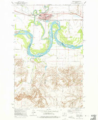
1972 · Poplar
USGS Topo · 1:24,000
1972 · Poplar NE
USGS Topo · 1:24,000