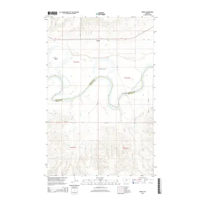
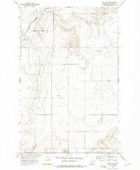
2014 Map of Sprole
USGS Topo · Published 2014About this map
The Missouri River carves a winding path across this portion of Roosevelt and Richland counties, shaping a landscape defined by its floodplains and tributary drainage. The settlement of Sprole sits along the northern rail and highway corridor of Us-2, which runs parallel to the Bia-1 route. This 2014 survey documents the river's intricate oxbows and islands, including the large White Shield Island and Skinners Island to the west. South of the river, the terrain rises into more complex coulees and ridges, drained by numerous creeks such as Bilger Cr, Second Cr, and Deep Cr. The Poplar Bridge provides a critical crossing point where the river bends, linking the northern agricultural plains with the more dissected southern uplands. This map serves as a detailed record of the hydrography and boundary lines within the Brockton District, showing the precise intersection of county lines and township divisions.
Find a feature on this map
21 named features on this map. Tap any name to fly to it.
Don’t see what you’re looking for? This feature index may not catch every label — zoom into the map to look around manually.
Map Details
Editions of this 2014 Sprole Map
This is the sole edition of this map. No revisions or reprints were ever made.
Other maps of this area
1909 · Glendive
USGS Topo · 1:250,000
1912 · Poplar
USGS Topo · 1:62,500
1914 · Brockton
USGS Topo · 1:62,500

1954 · Glendive
USGS Topo · 1:250,000
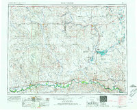
1954 · Wolf Point
USGS Topo · 1:250,000

1957 · Glendive
USGS Topo · 1:250,000
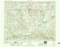
1958 · Wolf Point
USGS Topo · 1:250,000
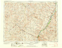
1958 · Glendive
USGS Topo · 1:250,000
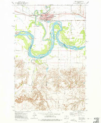
1972 · Poplar
USGS Topo · 1:24,000
1972 · Poplar NE
USGS Topo · 1:24,000