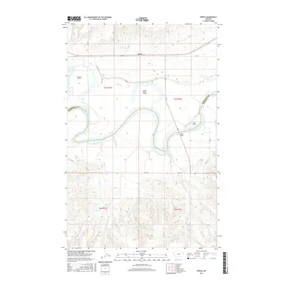
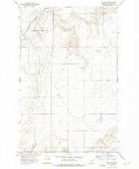
2017 Map of Sprole
USGS Topo · Published 2017About this map
The Missouri River carves a massive, winding path through this corner of northeast Montana, defining the border between Roosevelt and Richland counties. The river's shifting dynamics are visible in the formation of large landmasses within the channel, including Skinners Island, White Shield Island, and Ivys Island. This landscape is fundamentally shaped by its watercourses, with numerous tributaries such as Colgan Creek, Bilger Creek, and Deep Creek draining the surrounding uplands into the Missouri basin.
Find a feature on this map
25 named features on this map. Tap any name to fly to it.
Don’t see what you’re looking for? This feature index may not catch every label — zoom into the map to look around manually.
Map Details
Editions of this 2017 Sprole Map
This is the sole edition of this map. No revisions or reprints were ever made.
Other maps of this area
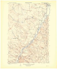
1909 · Glendive
USGS Topo · 1:250,000
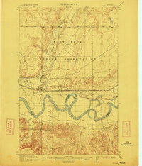
1912 · Poplar
USGS Topo · 1:62,500
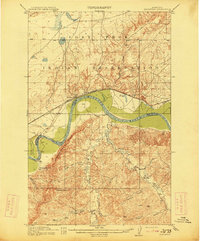
1914 · Brockton
USGS Topo · 1:62,500

1954 · Glendive
USGS Topo · 1:250,000
1954 · Wolf Point
USGS Topo · 1:250,000

1957 · Glendive
USGS Topo · 1:250,000
1958 · Wolf Point
USGS Topo · 1:250,000
1958 · Glendive
USGS Topo · 1:250,000
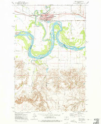
1972 · Poplar
USGS Topo · 1:24,000
1972 · Poplar NE
USGS Topo · 1:24,000