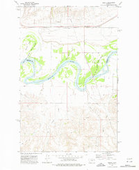
1972 Map of Sprole
USGS Topo · Published 1976About this map
Missouri River meanders through this landscape at the boundary of Roosevelt and Richland Counties, defining a fertile valley between high plains. The Fort Peck Indian Reservation Boundary follows the river's northern banks, encompassing large riverine features like Skinners Island and White Shield Island. Settlement is concentrated along the Burlington Northern railroad corridor, where the tiny community of Sprole and its associated Storage Bins mark the local grain economy. To the south, the terrain becomes increasingly dissected by drainage systems such as First Creek, Second Creek, and Deep Creek, leading toward the small station of Renz. The presence of a Drill Hole and various pipelines suggests the early influence of energy extraction in this part of Montana during the early 1970s.
Find a feature on this map
16 named features on this map. Tap any name to fly to it.
Don’t see what you’re looking for? This feature index may not catch every label — zoom into the map to look around manually.
Map Details
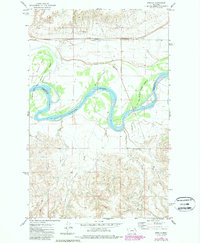
Editions of this 1972 Sprole Map
2 editions found
Other maps of this area

1909 · Glendive
USGS Topo · 1:250,000

1912 · Poplar
USGS Topo · 1:62,500

1914 · Brockton
USGS Topo · 1:62,500

1954 · Glendive
USGS Topo · 1:250,000

1954 · Wolf Point
USGS Topo · 1:250,000

1957 · Glendive
USGS Topo · 1:250,000

1958 · Wolf Point
USGS Topo · 1:250,000

1958 · Glendive
USGS Topo · 1:250,000

1972 · Poplar
USGS Topo · 1:24,000

1972 · Poplar NE
USGS Topo · 1:24,000