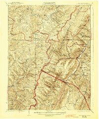
1924 Map of Spruce Knob
USGS Topo · Published 1943About this map
Spruce Mountain and its high point, Spruce Knob, dominate this 1920s topography of the West Virginia-Virginia borderlands. The landscape is defined by the high, parallel ridges of Allegheny Mountain and Beech Mountain, containing unique geological features such as The Sinks. Small valley communities and post offices are scattered throughout, including Osceola PO and Thornwood PO, while a network of rural schoolhouses like Hinkle School and Hammer School serve the high-altitude settlements.
Find a feature on this map
99 named features on this map. Tap any name to fly to it.
Don’t see what you’re looking for? This feature index may not catch every label — zoom into the map to look around manually.
Map Details
Editions of this 1924 Spruce Knob Map
2 editions found

Other maps of this area

1889 · Beverly
USGS Topo · 1:125,000

1892 · Beverly
USGS Topo · 1:125,000

1892 · Franklin
USGS Topo · 1:125,000

1894 · Staunton
USGS Topo · 1:125,000

1896 · Franklin
USGS Topo · 1:125,000

1901 · Monterey
USGS Topo · 1:125,000

1909 · Elkins
USGS Topo · 1:62,500

1920 · Onego
USGS Topo · 1:62,500

1921 · Onego
USGS Topo · 1:48,000

1922 · Onego
USGS Topo · 1:62,500