
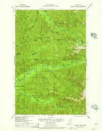
2014 Map of Spruce Mountain
USGS Topo · Published 2014About this map
Huelsdonk Ranch and Lewis Ranch anchor the human presence in this portion of the Hoh River valley, situated at the boundary of Olympic National Park and Olympic National Forest. The landscape is dominated by the steep rises of Geodetic Hill and Spruce Mtn to the northwest, while Huelsdonk Ridge defines the southern horizon. This 2014 survey documents the transportation network of the era, including the Upper Hoh Rd and the Huelsdonk Bridge, which provide access to the Huelsdonk Campground. Notable drainage patterns are visible through the paths of Tumwata Cr and the South Fork Hoh River, illustrating the rugged catchment area near Peak Six. Local place names reflect the family legacy of early homesteaders whose footprints remain visible through ranch boundaries and named geographic features.
Find a feature on this map
39 named features on this map. Tap any name to fly to it.
Don’t see what you’re looking for? This feature index may not catch every label — zoom into the map to look around manually.
Map Details
Editions of this 2014 Spruce Mountain Map
This is the sole edition of this map. No revisions or reprints were ever made.
Other maps of this area
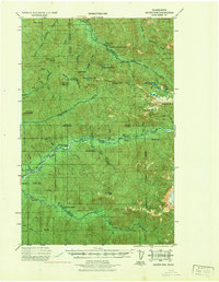
1939 · Mount Tom
USGS Topo · 1:62,500
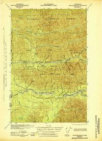
1943 · Spruce Mountain
USGS Topo · 1:62,500
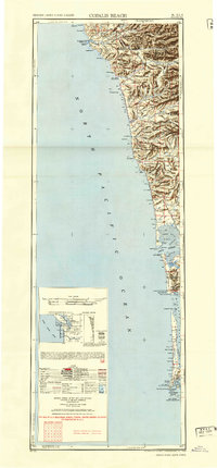
1943 · Copalis Beach
USGS Topo · 1:250,000
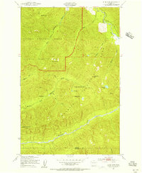
1950 · Slide Peak
USGS Topo · 1:24,000

1951 · Copalis Beach
USGS Topo · 1:250,000
1956 · Kloochman Rock
USGS Topo · 1:62,500
1956 · Mount Tom
USGS Topo · 1:62,500
1956 · Spruce Mtn.
USGS Topo · 1:62,500
1956 · Salmon River
USGS Topo · 1:62,500
1957 · Mount Tom
USGS Topo · 1:62,500