
2017 Map of Spruce Mountain
USGS Topo · Published 2017About this map
Hoh River and its South Fork Hoh River dominate this 2017 survey of the Olympic Peninsula wilderness. The landscape is defined by the convergence of Olympic National Park and Olympic National Forest, where steep terrain climbs toward landmarks like Spruce Mountain Geodetic Hill and Huelsdonk Ridge. Human infrastructure in this densely forested region is concentrated along the river valleys, represented by the Upper Hoh Rd and the Huelsdonk Bridge. This map captures a modern snapshot of the timber and conservation landscape, detailing logging access routes like the Hoh Mainline and Rain Forest Rd as they navigate around the massive drainage systems of Tumwater Cr and Owl Cr. The intricate network of smaller tributaries, such as Hunger Cr and Dismal Cr, underscores the high-precipitation environment characteristic of this Pacific Northwest rainforest.
Find a feature on this map
38 named features on this map. Tap any name to fly to it.
Don’t see what you’re looking for? This feature index may not catch every label — zoom into the map to look around manually.
Map Details
Editions of this 2017 Spruce Mountain Map
This is the sole edition of this map. No revisions or reprints were ever made.
Other maps of this area
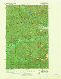
1939 · Mount Tom
USGS Topo · 1:62,500
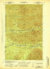
1943 · Spruce Mountain
USGS Topo · 1:62,500
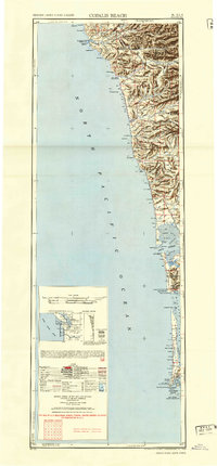
1943 · Copalis Beach
USGS Topo · 1:250,000
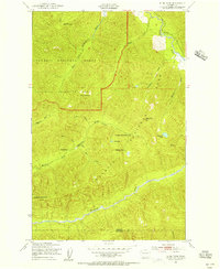
1950 · Slide Peak
USGS Topo · 1:24,000
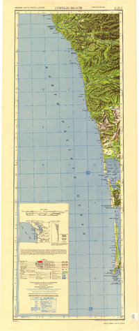
1951 · Copalis Beach
USGS Topo · 1:250,000
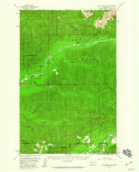
1956 · Kloochman Rock
USGS Topo · 1:62,500
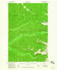
1956 · Mount Tom
USGS Topo · 1:62,500
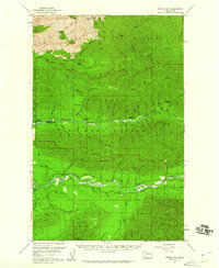
1956 · Spruce Mtn.
USGS Topo · 1:62,500
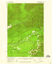
1956 · Salmon River
USGS Topo · 1:62,500
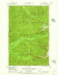
1957 · Mount Tom
USGS Topo · 1:62,500