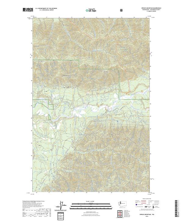
2023 Map of Spruce Mountain
USGS Topo · Published 2023About this map
The Hoh River and its South Fork Hoh River serve as the primary hydrologic arteries through this part of the Olympic Peninsula. This modern survey illustrates the intersection of conservation boundaries, showing where the Olympic National Park and Olympic Wilderness meet the Olympic National Forest. The topography is dominated by significant elevations such as Spruce Mtn, Geodetic Hill, and the prominent Huelsdonk Ridge to the southeast.
Find a feature on this map
39 named features on this map. Tap any name to fly to it.
Don’t see what you’re looking for? This feature index may not catch every label — zoom into the map to look around manually.
Map Details
Editions of this 2023 Spruce Mountain Map
This is the sole edition of this map. No revisions or reprints were ever made.
Other maps of this area

1939 · Mount Tom
USGS Topo · 1:62,500

1943 · Spruce Mountain
USGS Topo · 1:62,500

1943 · Copalis Beach
USGS Topo · 1:250,000

1950 · Slide Peak
USGS Topo · 1:24,000

1951 · Copalis Beach
USGS Topo · 1:250,000

1956 · Kloochman Rock
USGS Topo · 1:62,500

1956 · Mount Tom
USGS Topo · 1:62,500

1956 · Spruce Mtn.
USGS Topo · 1:62,500

1956 · Salmon River
USGS Topo · 1:62,500
1957 · Mount Tom
USGS Topo · 1:62,500