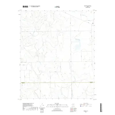
2019 Map of Spur NW
USGS Topo · Published 2019About this map
Spur and its western rural hinterland are documented here during the late 2010s, capturing the transition between the agricultural plains and the drainage systems of the Rolling Plains. The landscape is defined by the branching networks of Red Mud Cr and its tributaries, including Grapevine Br and Little Red Mud Cr, which carve through the terrain south of the Dickens and Kent county line. For genealogists and local historians, the Red Mud Cem stands as a significant landmark of early ranching and farming settlement in this region. This modern survey illustrates the enduring farm-to-market road network, such as FM 261 and FM 836, which continues to connect isolated homesteads and grazing lands to the town center of Spur.
Find a feature on this map
28 named features on this map. Tap any name to fly to it.
Don’t see what you’re looking for? This feature index may not catch every label — zoom into the map to look around manually.
Map Details
Editions of this 2019 Spur NW Map
This is the sole edition of this map. No revisions or reprints were ever made.
Other maps of this area

1954 · Lubbock
USGS Topo · 1:250,000
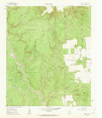
1961 · Bunker Hill
USGS Topo · 1:24,000
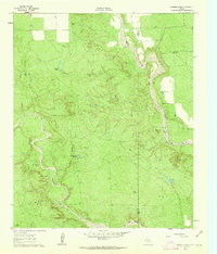
1962 · Twomile Creek
USGS Topo · 1:24,000
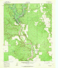
1962 · Smith Tank
USGS Topo · 1:24,000
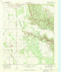
1967 · Dickens South
USGS Topo · 1:24,000
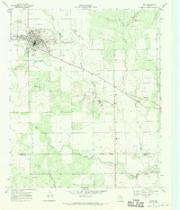
1967 · Spur
USGS Topo · 1:24,000
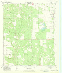
1967 · Spur NW
USGS Topo · 1:24,000
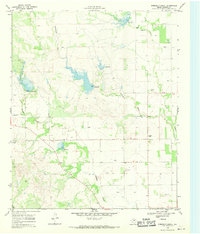
1968 · Foreman Chapel
USGS Topo · 1:24,000
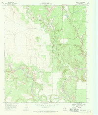
1968 · Spur SW
USGS Topo · 1:24,000
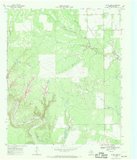
1968 · White Camp
USGS Topo · 1:24,000