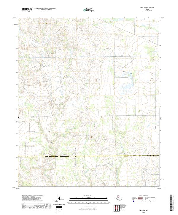
2022 Map of Spur NW
USGS Topo · Published 2022About this map
The drainage basins of the Red Mud Cr and Little Red Mud Cr define this West Texas landscape, where the rolling plains meet the breaks of the Caprock. Situated along the eastern edge of the survey, the town of Spur represents the primary center of activity, connected to the surrounding ranching and farming country by a network of farm-to-market roads like FM 2794 and FM 836. This area is characterized by significant topographic relief, most notably at Spade Draw and along the winding courses of Dockum Cr and Spring Cr.
Find a feature on this map
28 named features on this map. Tap any name to fly to it.
Don’t see what you’re looking for? This feature index may not catch every label — zoom into the map to look around manually.
Map Details
Editions of this 2022 Spur NW Map
This is the sole edition of this map. No revisions or reprints were ever made.
Other maps of this area

1954 · Lubbock
USGS Topo · 1:250,000

1961 · Bunker Hill
USGS Topo · 1:24,000

1962 · Twomile Creek
USGS Topo · 1:24,000

1962 · Smith Tank
USGS Topo · 1:24,000

1967 · Dickens South
USGS Topo · 1:24,000

1967 · Spur
USGS Topo · 1:24,000

1967 · Spur NW
USGS Topo · 1:24,000

1968 · Foreman Chapel
USGS Topo · 1:24,000

1968 · Spur SW
USGS Topo · 1:24,000

1968 · White Camp
USGS Topo · 1:24,000