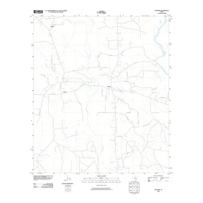
2010 Map of Spurger
USGS Topo · Published 2010About this map
Spurger serves as the central hub of this East Texas landscape, situated at the junction of FM 92 and FM 1013. The settlement pattern is defined by a network of county roads extending into the surrounding piney woods, including the northern outpost of Oldham. The northeastern boundary of the quadrangle is traced by the winding course of the Neches River, while the interior is drained by a dense system of waterways such as Beech Creek, Mill Creek, and Turner Branch.
Find a feature on this map
37 named features on this map. Tap any name to fly to it.
Don’t see what you’re looking for? This feature index may not catch every label — zoom into the map to look around manually.
Map Details
Editions of this 2010 Spurger Map
This is the sole edition of this map. No revisions or reprints were ever made.
Other maps of this area

1954 · Beaumont
USGS Topo · 1:250,000

1955 · Woodville
USGS Topo · 1:62,500

1955 · Curtis
USGS Topo · 1:62,500

1957 · Beaumont
USGS Topo · 1:250,000

1958 · Warren
USGS Topo · 1:62,500

1958 · Spurger
USGS Topo · 1:62,500

1984 · Beaumont
USGS Topo · 1:250,000

1984 · Potato Patch Lake
USGS Topo · 1:24,000
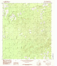
1984 · Beech Grove
USGS Topo · 1:24,000
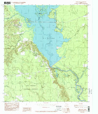
1984 · Town Bluff
USGS Topo · 1:24,000