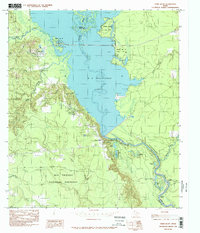
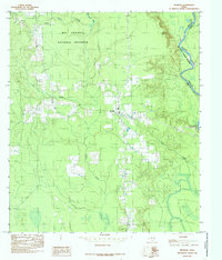
1984 Map of Town Bluff
USGS Topo · Published 1985About this map
B A Steinhagen Lake dominates this East Texas landscape, formed by the impoundment of the Neches River at Town Bluff. The map illustrates a complex riparian environment where the river meanders through oxbows and backwaters south of the dam, including McMickin Lake and Barlow Lake at Cowart Bend. Significant portions of the shoreline and surrounding woodlands are dedicated to public lands, notably Martin Dies Jr State Park and the extensive Big Thicket National Preserve. The topography reveals the transition from the high ground of Pedigo Hill down to the bottomlands drained by Little Beech Creek and Push Rush Creek. The settlement of Dam B serves as a small anchor point near the reservoir's primary infrastructure, reflecting the mid-20th-century development of water management and recreational spaces in Tyler and Jasper counties.
Find a feature on this map
25 named features on this map. Tap any name to fly to it.
Don’t see what you’re looking for? This feature index may not catch every label — zoom into the map to look around manually.
Map Details
Editions of this 1984 Town Bluff Map
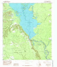
2 editions found
Other maps of this area

1954 · Beaumont
USGS Topo · 1:250,000

1955 · Woodville
USGS Topo · 1:62,500

1955 · Curtis
USGS Topo · 1:62,500

1957 · Beaumont
USGS Topo · 1:250,000

1958 · Warren
USGS Topo · 1:62,500

1958 · Spurger
USGS Topo · 1:62,500

1984 · Beaumont
USGS Topo · 1:250,000
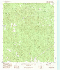
1984 · Boggy Lake
USGS Topo · 1:24,000
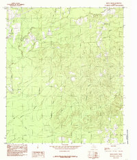
1984 · Beech Grove
USGS Topo · 1:24,000
1984 · Spurger
USGS Topo · 1:24,000